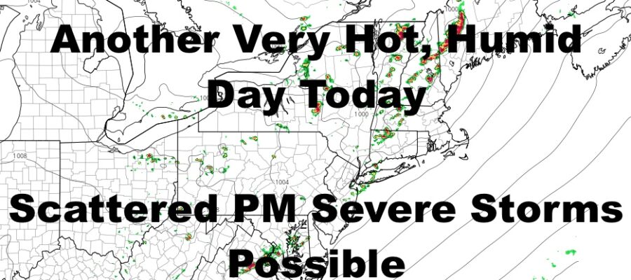
NYC Widely Scattered Severe Weather Possible This Afternoon
Good afternoon everyone. I’m going to keep this brief since nothing has really changes since yesterday. We are in the midst of our first official heatwave for the summer season, and we will be watching the radar the radar over the next several hours to see what develops thunderstorm-wise. Otherwise, heat continues through Monday, and we’ll see if we catch a slight kinda-sorta break Tuesday/Wednesday.
SATELLITE
Sunshine mixed with high clouds will give way to sunshine mixed with puffy clouds as the afternoon rolls on. Expect mid to upper 90’s in most spots except the beaches and the Forks, and maybe even an isolated 100 degree spot in the more notorious hot spots.
Low pressure heading north of us in Canada will provide enough instability to touch off some scattered severe storms, with most of the action north of the City. However, with this heat, we could see a few pop in the area and across parts of Long Island. The only way to tell who’s going to get what, is to watch the radar. The action down here will be random at best. Anybody who does see storms, could see frequent lightning, damaging winds, hail, torrential rain, and an isolated tornado.
WEATHER RADAR
Storms give no relief as we pop back into the mid to upper 90’s tomorrow, then more sunshine, more humidity, and more mid to upper 90’s Saturday and Sunday.
Even Monday tries to hit or just pass the 90 mark, with sun and clouds, very humid conditions, and a better chance of storms.
Look ahead, Tuesday and Wednesday look to tamp down to the upper 80’s to near 90. However, if we do reach 90, it could build a bridge to the next possible hot stretch, making it possible to near or break a long-standing record of 12 days of 90+ temps in NYC.
BE SURE TO DOWNLOAD THE FREE METEOROLOGIST JOE CIOFFI WEATHER APP &
ANGRY BEN’S FREE WEATHER APP “THE ANGRY WEATHERMAN!
MANY THANKS TO TROPICAL TIDBITS & F5 WEATHER FOR THE USE OF MAPS
Please note that with regards to any severe weather, tropical storms, or hurricanes, should a storm be threatening, please consult your local National Weather Service office or your local government officials about what action you should be taking to protect life and property.


