Seasonal Memorial Day Weekend Expected
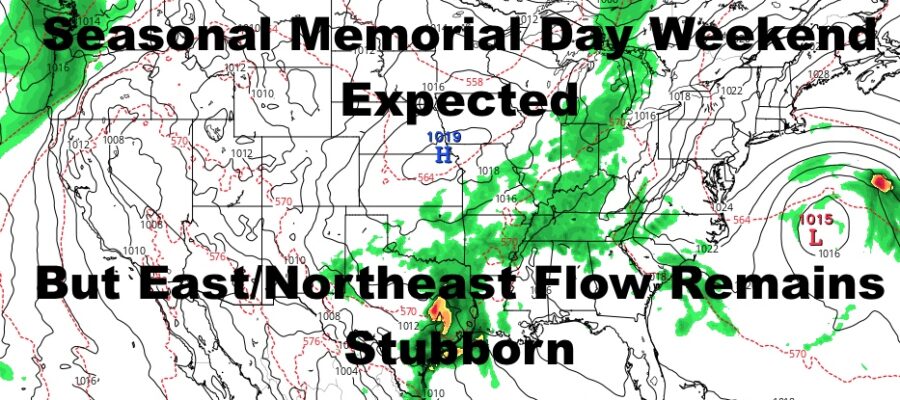
Good morning everyone. Tropical Storm Arthur continues to wobble around like a drunk socialite and our pattern is stuck in cement as real spring is trying to emerge. Things will break slightly for our holiday weekend, but that persistent maritime flow isn’t going anywhere, and we’ll see seasonal temps at best.
SATELLITE

First, we have to get through some seasonably cool weather. Nothing outrageous is going on, but the 60’s will be our best friend till Friday. Look for variable sunshine and a breezy day today with winds out of the east. Highs in the mid to upper 60’s.
REGIONAL RADAR

Tomorrow will be the coolest of the bunch, with variable sunshine again, stiff east winds again, and highs in the low to mid 60’s.
Upper 60’s return for Thursday, and with the prospect of rain fading away for Friday, a seasonal 70-75 is possible depending on how much sunshine we get.
LOCAL RADAR NEW YORK CITY

Both Saturday and Sunday are looking like 70-75 degree days, but if you’re looking to go down to the beach, it’ll be cooler due to that maritime fetch. Also, the beaches being closed to swimming may be a blessing in disguise as riptides may be a big problem due to these prolonged ENE winds.
Memorial Day itself on Monday is looking OK as well, with 70-75 degree weather and a stiff ENE wind again.
LOCAL RADAR PHILADELPHIA


Overall, the pattern is changing due to the traffic jam, and that’s a good thing. However, we are stuck in the transition here as spring and summer breaks out everywhere else. Things will get moving again, and I think we start seeing some more spring-like and possibly summer-like weather before June begins.
MANY THANKS TO TROPICAL TIDBITS FOR THE USE OF MAPS
Please note that with regards to any tropical storms or hurricanes, should a storm be threatening, please consult your local National Weather Service office or your local government officials about what action you should be taking to protect life and property.