SECOND NYC NOREASTER POSSIBLY PACKING MORE RAIN SNOW WIND
SECOND NYC NOREASTER POSSIBLY PACKING MORE RAIN SNOW WIND
SECOND NYC NOREASTER POSSIBLY PACKING MORE RAIN SNOW WIND – Good morning everyone. Mother Nature is not giving us much breathing room as far as letting us recover from our huge Nor’easter before sending us another one, but she will be sparing us slightly to show she has a merciful side.
Seasonably cool air is locked into our area as well as a stiff northerly breeze. This should be the case for both today and tomorrow, with sunny skies and highs in the low to mid 40’s. On Tuesday, we start sunny, then clouds will be on the increase as our northerly breeze turns east/southeast, a sign of something rotten.
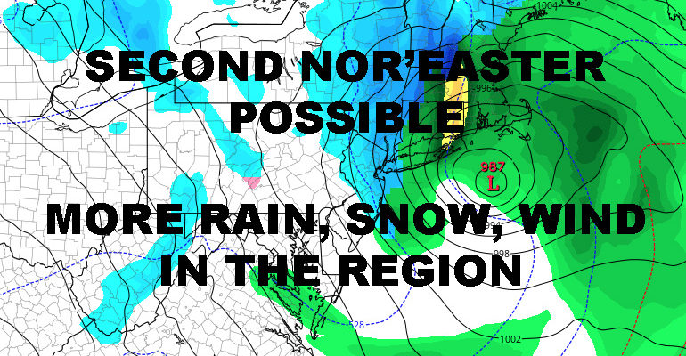
In similar fashion, low pressure will make its way from our west and into the eastern Great Lakes region, then try to transfer its energy and redevelop off of coast and in our backyard. This time we’ll be lucky in terms of not having a full moon and much faster moving system. It’ll also be more compact, so think of this as a baby Nor’easter compared to Friday’s. One thing that may be different though, is the amount of cold air available in the mid-layers of the atmosphere.
Look for rain to start heading in late Tuesday night, then possibly mixing with and/or changing to snow after midnight/before sunrise Wednesday. Where or if our secondary low forms will be crucial in terms of when or if we see any frozen precip. Also, if our low to the west holds on for too long before transferring most of its energy to the coast, we’ll see more rain or more mix than we will snow.
Just like the last system, the potential is there for several changeovers and change-backs if we don’t get sufficient cold air pulled into the area. As far as wind is concerned, right now we’re probably looking at 20-30mph winds and gusts 35-45mph, especially near the coast. A baby Nor’easter, but a Nor’easter nonetheless.
Either way, it’s all gone by Thursday and we resume our sunny but cool part of this pattern. For the long range, I still see a long stretch of average temps, the continuation of an active pattern system-wise, then things possibly quieting down and warming up slightly for the last 1/3 of March.


NATIONAL WEATHER SERVICE SNOW FORECASTS
LATEST JOESTRADAMUS ON THE LONG RANGE
Weather App

Don’t be without Meteorologist Joe Cioffi’s weather app. It is really a meteorologist app because you get my forecasts and my analysis and not some automated computer generated forecast based on the GFS model. This is why your app forecast changes every 6 hours. It is model driven with no human input at all. It gives you an icon, a temperature and no insight whatsoever.
It is a complete weather app to suit your forecast needs. All the weather information you need is right on your phone. Android or I-phone, use it to keep track of all the latest weather information and forecasts. This weather app is also free of advertising so you don’t have to worry about security issues with your device. An accurate forecast and no worries that your device is being compromised.
Use it in conjunction with my website and my facebook and twitter and you have complete weather coverage of all the latest weather and the long range outlook. The website has been redone and upgraded. Its easy to use and everything is archived so you can see how well Joe does or doesn’t do when it comes to forecasts and outlooks.
Just click on the google play button or the apple store button on the sidebar for my app which is on My Weather Concierge. Download the app for free. Subscribe to my forecasts on an ad free environment for just 99 cents a month.
Get my forecasts in the palm of your hand for less than the cost of a cup of Joe!