Showery Day Expected Tomorrow With More Cold Air Late Week
Good morning everyone. We have a beautiful one today before more rain moves in tomorrow. Cold air heads back in late week with some teens possible overnight, but there’s still no snow on the horizon and we modify that cold air fairly quickly.
SATELLITE

For Washington’s Birthday today, expect mostly sunny skies, light northerlies, and highs in the mid to upper 40’s. Overnight tonight, we cloud up and keep things in the mid 30’s as those clouds act like a thermal blanket.
REGIONAL RADAR

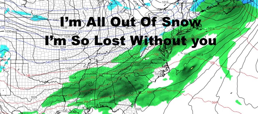
Rain moves in by late morning/early afternoon tomorrow, and most of it will be on the light side. Expect about a 1/2″ at best between tomorrow and tomorrow night. Highs will be in the 45-50 range.
LOCAL RADAR NEW YORK CITY

Wednesday will begin the clearing out and cooling down process. We should have some morning clouds, then PM sun and a breeze picking up. Highs temps will be in the mid to upper 40’s, but in the low to mid 20’s overnight.
The breeze stays with us Thursday, and we don’t recover much with highs in the low to mid 30’s. Overnight Thursday will be the coldest night of the week, with temps 15-20 degrees in most spots. Well north of the City could see some single digits again.
On Friday, temps remain cold and in the low to mid 30 range; but the signs are there we already begin modifying, as teens are gone and we only drop to near 30 overnight.
LOCAL RADAR PHILADELPHIA


Next weekend is looking beautiful so far, with mid to upper 40’s and sunny skies on Saturday; then near 50 temps on Sunday as sunny skies continue.
Overall, we have colder air available, but it just doesn’t last very long and not timed well with our approaching systems. Our jet stream isn’t helping very much with the system path either, and everything is either suppressed too far south, or goes to our west bringing rain.
It looks as if that trend continues, with more cold air to start March, but it doesn’t last long. Snow will be a tough prospect and it’s about to get tougher with the gears of Spring start turning in the lower Midwest after our early March cold shot.
MANY THANKS TO TROPICAL TIDBITS FOR THE USE OF MAPS
Please note that with regards to any tropical storms or hurricanes, should a storm be threatening, please consult your local National Weather Service office or your local government officials about what action you should be taking to protect life and property.