Tough NYC Forecast Ahead With Moisture Getting Hung Up Along East Coast At Times
Good morning everyone. A few days ago, we were looking at a sunny and pleasant Tuesday with 70’s and a nice breeze. The only thing that sticks around is the 70’s, because moisture got hung along the east coast and it was able to spin off a tropical depression in the process. This depression won’t be paying a visit, but it’ll help clouds and moisture stick around in this pattern developing.
SATELLITE

For today, expect variable cloudiness, a southeast flow, and temps holding mostly in the 70’s. A brief, heavy shower is possible at any time. Overnight as that depression scoots out and well south of us, it could throw back another band of heavy showers and a rumble.
REGIONAL RADAR

Tomorrow’s not looking much better cloud-wise, but we’ll be slightly warmer as that onshore flow eases a bit. Expect low 80’s, variable clouds, and the slight chance of a few showers PM showers & storms.
Thursday we improve some more, but some AM fog could be an issue. Humidity will increase more as well, but we should see some more sunshine. Highs in the mid to upper 80’s.
LOCAL RADAR NEW YORK CITY

Your Labor Day holiday weekend isn’t looking too bad, but not sure if it rises to the level of beach day (aside from Friday) if you like hot & sunny weather.
Friday will be the only one I think, with full sunshine and upper 80’s to near 90 for a very warm to hot day. It’ll be slightly cooler at the shore, but still a nice beach day by anyones definition.
A front passes through late Friday with little fanfare, and that’ll help drop the temps for both Saturday and Sunday. Look for sunshine and 75-80 degrees both Saturday and Sunday.
Monday gets a little iffy in my opinion as our next front arrives and possibly getting hung up along the coast again. For the moment, we’ll go with clouds and sun, chance of a few showers, and highs in the upper 70’s to low 80’s.
LOCAL RADAR PHILADELPHIA


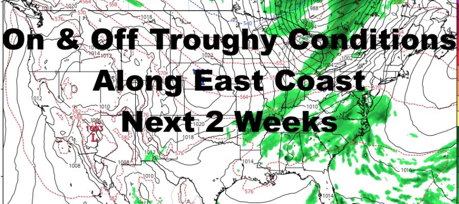
Part of this pattern with fronts having a hard time clearing the coast, concerns me in the long range. Today is a good example as a tropical depression was able to form from this moisture locked up in the region. It wouldn’t shock me to see this happen again, and old fronts can become a problem when it comes to being a breeding ground for tropical activity or help guide a storm up the coast.
Nothing exists as of this moment and we are not in any immediate or intermediate danger. However, it could pose a problem down the line IF anything develops. At a minimum, this type of pattern will lead to more botched 5-7 day forecasts as sunny and pleasant days wind up being cloudy and damp if any fronts get stuck on the coast.
MANY THANKS TO TROPICAL TIDBITS FOR THE USE OF MAPS
Please note that with regards to any tropical storms or hurricanes, should a storm be threatening, please consult your local National Weather Service office or your local government officials about what action you should be taking to protect life and property.